//
For internal use only
Not On Display
Map
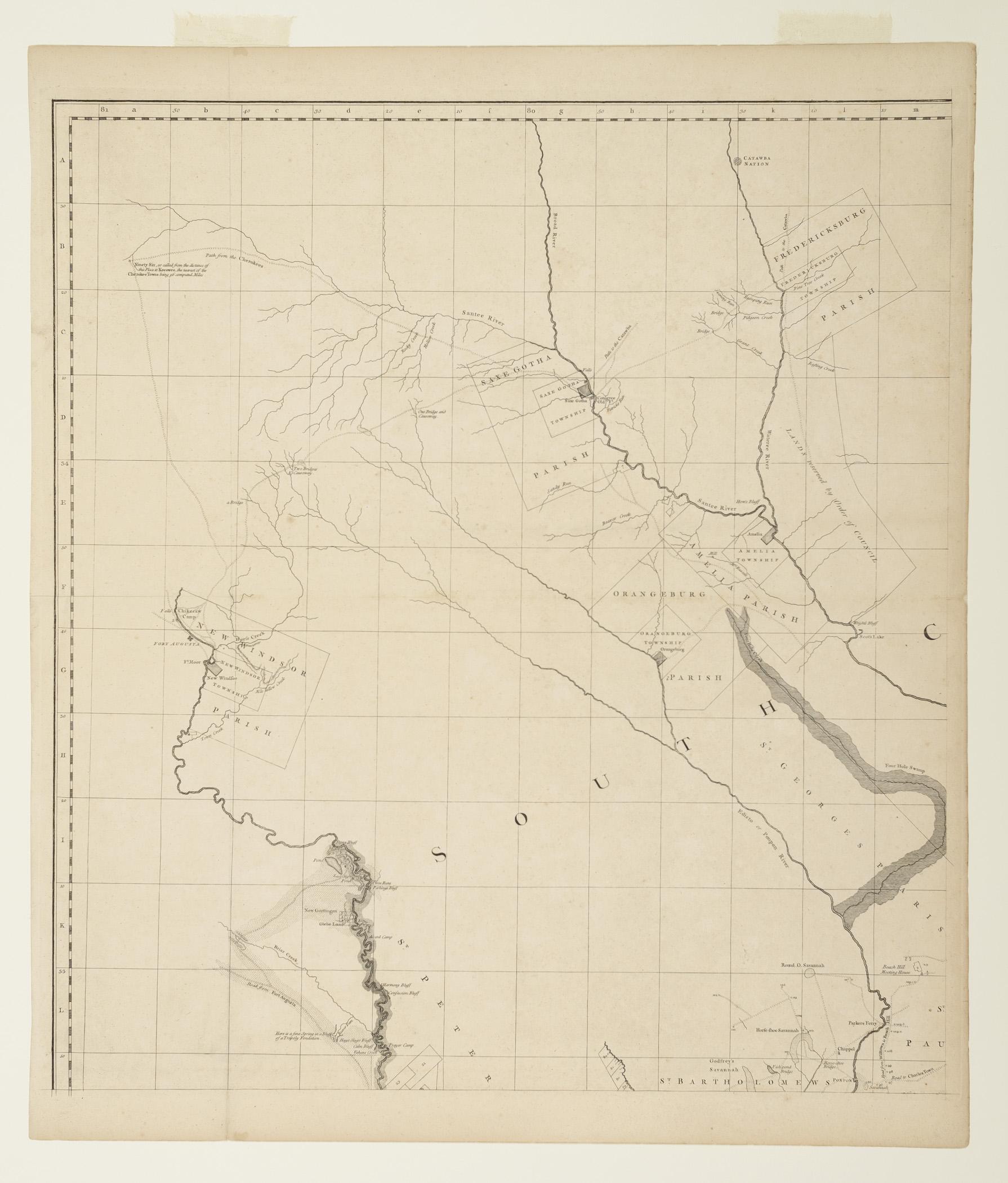
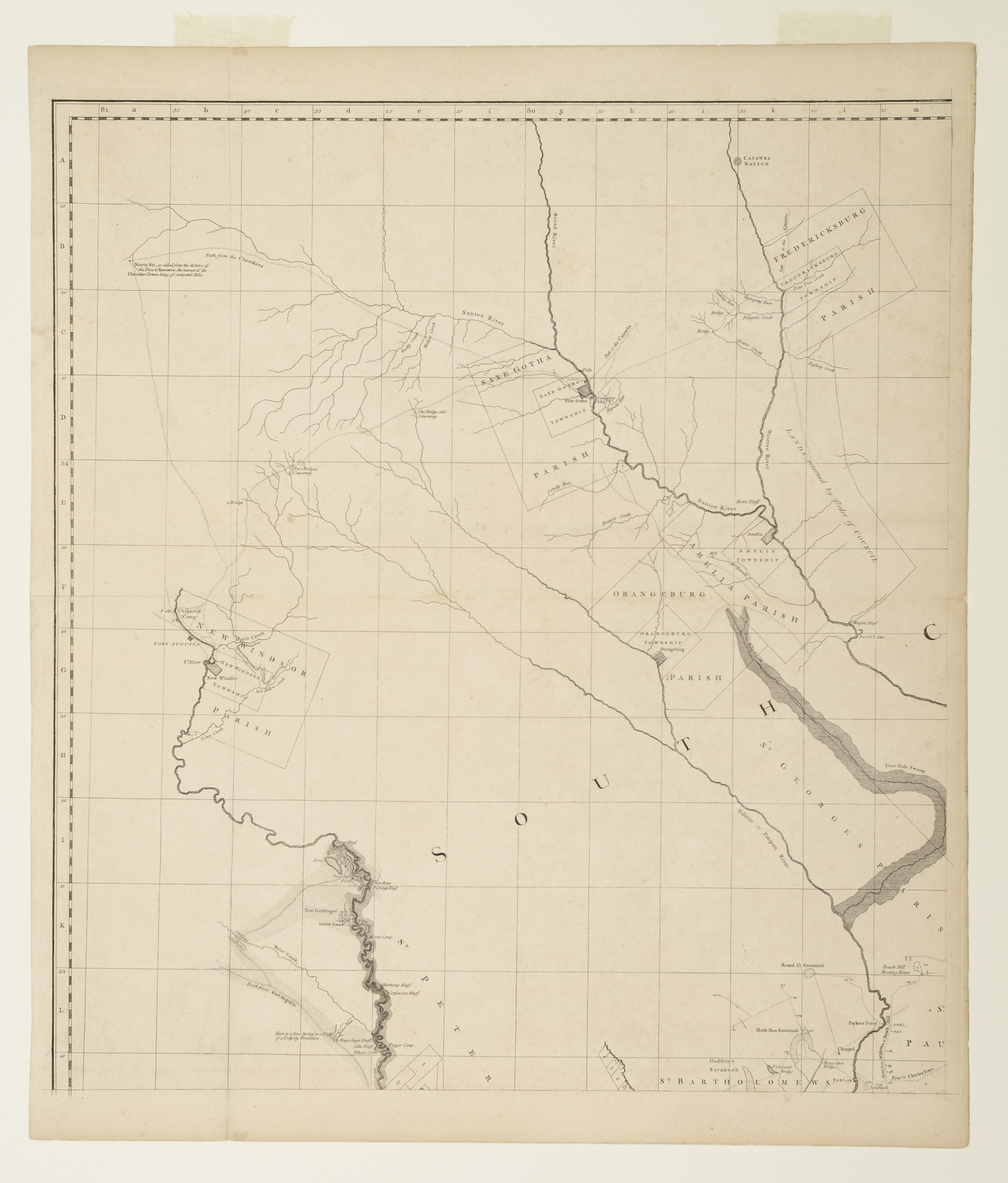
A MAP of/ SOUTH CAROLINA/ And a PART of GEORGIA./ containing the Whole Sea-Coast: all the Islands, Inlets, Rivers, Creeks, Parishes,/ Townships, Boroughs, Roads and Bridges:/ AS ALSO,/ Several Plantations, with their proper Boundary Lines, their/ Names, and the Names of their Properties.
William Gerard de Brahm, Thomas Jefferys
1757-1757
Category
Prints and Maps
Creator/Artist/Maker
William Gerard de Brahm (Cartographer and surveyor)
Place of Origin
London; London; England; United Kingdom; Europe
Materials
- Ink
- Paper (laid)
Museum Object Number
1974.0076 A- D
Credit Line/Donor
Museum purchase
Share Object
Complete Details
Object Number
1974.0076 A- D
Object Name
Map
Title
A MAP of/ SOUTH CAROLINA/ And a PART of GEORGIA./ containing the Whole Sea-Coast: all the Islands, Inlets, Rivers, Creeks, Parishes,/ Townships, Boroughs, Roads and Bridges:/ AS ALSO,/ Several Plantations, with their proper Boundary Lines, their/ Names, and the Names of their Properties.
Category
Prints and Maps
Creator (Role)
William Gerard de Brahm (Cartographer and surveyor); Thomas Jefferys (Engraver and publisher)
Place of Origin
London; London; England; United Kingdom; Europe
Date
1757-1757
Mark/Signature/Inscription/Label
Type: Inscription
Location: [1974.0076 D] Lower right, within scroll
Inscription: Composed/ From Surveys taken by/ The Hon. WILLIAM BULL Esq. Lieutenant Governor,/ Captain GASCOIGN, HUGH BRYAN, Esq;/ And the AUTHOR/ WILLIAM De BRAHM,/ Surveyor General to the Province of South Carolina,/ one of the Surveyors of Georgia,/ And late Captain Engineer under his Imperial Majesty CHARLES VII.
Type: Inscription
Location: [1974.0076 D] Lower right, within scroll
Inscription: ENGRAV'D BY/ Thomas Jefferys, Georgrapher to his Royal Highness the/ Prince of Wales.
Type: Inscription
Location: [1974.0076 c] Lower center
Inscription: London Published According to Act of Parliament by T. Jefferys Oct.\r 20 1757.
Mark/Signature: Yes
Subject(s)
- Genre scene
Materials
- Ink
- Paper (laid)
Techniques
- Etched
- Engraved
Dimensions (inches)
29.1 (H) x 25.4 (W) x 26.6 (Image H) x 24 (Image W)
Dimensions (centimeters)
73.9 (H) x 64.5 (W) x 67.5 (Image H) x 60.9 (Image W)
Measurement Notes
Measurements above of (a). H at left. W at bottom. Plate H (at left) 27.1 in. (68.8 cm). Plate W (at bottom) 24.7 in. (62.8 cm).
[1974.0076 B]: Overall H: 29.125 in. (73.9 cm). Overall W: 25.4 in. (64.5 cm). Plate H: 27.125 in. (68.8 cm). Plate W: 24.7 in. (62.8 cm). Image H: 26.6 in. (67.5 cm). Image W: 24.0 in. (60.9 cm).
[1974.0076 C]: Overall H: 28.8 in. (73.2 cm). Overall W: 25.25 in. (64.2 cm). Plate H: 26.63 in. (67.65 cm). Plate W: 24.1 in. (61.2 cm). Image H: 27.2 in. (69.2 cm). Image W: 24.9 in. (63.2 cm).
[1974.0076 D]: Overall H: 29.4 in. (74.6 cm). Overall W: 25.6 in. (65.1 cm). Plate H: 27.3 in. (69.3 cm). Plate W: 24.8 in. (63.0 cm). Image H: 26.6 in. (67.6 cm). Image W: 24.0 in. (60.9 cm).
Chain intervals: 2.75-2.85 cm; 8 laid lines per cm.
Publisher Summary
T. Jefferys
Publisher Date
01/01/1757
Place of Publication
London, England, United Kingdom, Europe
Publisher Name
T. Jefferys
Edition State
I
Edition Watermark
(a) countermark: "IV"; (b) possible countermark: "IV"; (c) none; (d) countermark: "IV"
Bibliography and Bibliographic Notes
Book: Cumming, William Patterson. 1958 The Southeast in Early Maps: With an Annotated Check List of Printed and Manuscript Regional and Local Maps of Southeastern North America during the Colonial Period.
• See pp. 27-29, 227-228, no.310.Book: Cumming, William Patterson. 1974 British Maps of Colonial America.
• See p.15.Book: Schwartz, Seymour I. & Ehrenberg, Ralph E. 1980 The Mapping of America.
• See p.167.Book: Sellers, John R. & Ee, Patricia Molen van. 1981 Maps and charts of North America and the West Indies, 1750-1789.
• See pp.326-327.Book: Pritchard, Margaret Beck & Taliaferro, Henry G. 2002 Degrees of Latitude: Mapping Colonial America.
• See pp.184-187, no.37.Book: Ristow, Walter W. 1985 American Maps and Mapmakers: Commercial Cartography in the Nineteenth Century.
• See p.28.