//
For internal use only

Not On Display
Map
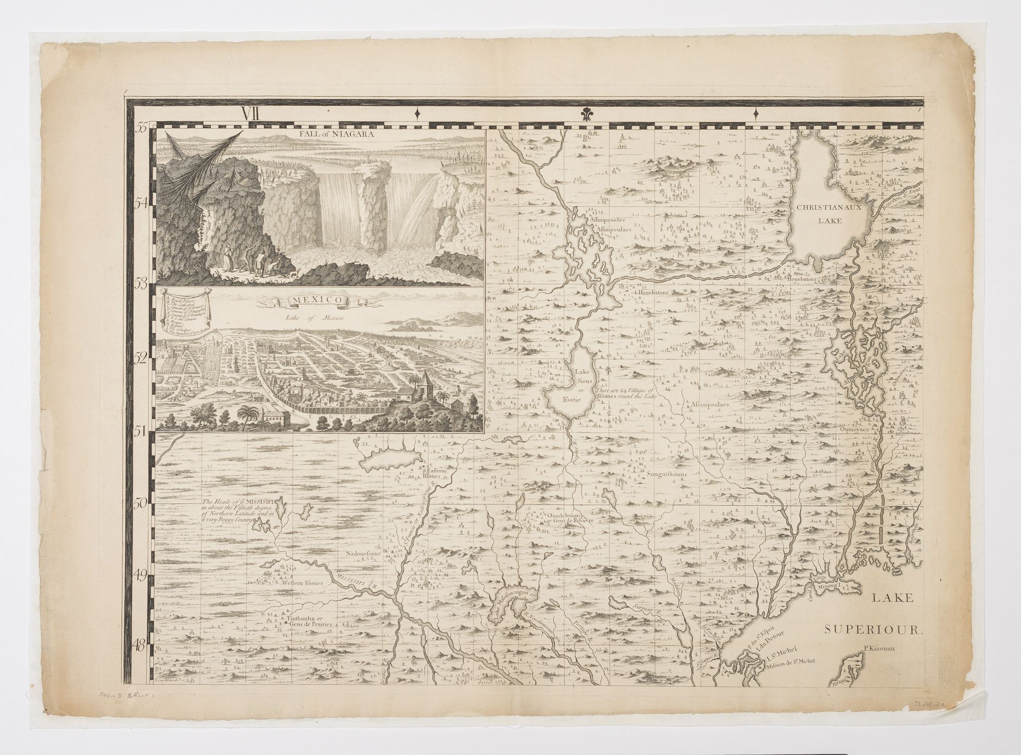
AMERICA SEPTENTRIONALIS./ A MAP of the BRITISH EMPIRE in AMERICA with the FRENCH and SPANISH SETTLEMENTS Adjacent thereto.
Henry Popple, William Henry Toms, Bernard Baron, Clement Lempriere, Stephen Austen, Thomas Willdey
1730-1750
Category
Prints and Maps
Creator/Artist/Maker
Henry Popple (Cartographer)
Place of Origin
London; London; England; United Kingdom; Europe
Materials
- Ink
- Paper (laid)
Museum Object Number
1973.0288.002 A
Credit Line/Donor
Museum purchase
Share Object
Complete Details
Object Number
1973.0288.002 A
Object Name
Map
Title
AMERICA SEPTENTRIONALIS./ A MAP of the BRITISH EMPIRE in AMERICA with the FRENCH and SPANISH SETTLEMENTS Adjacent thereto.
Category
Prints and Maps
Creator (Role)
Henry Popple (Cartographer); William Henry Toms (Engraver); Bernard Baron (Engraver); Clement Lempriere (Designer); Stephen Austen (Mapseller); Thomas Willdey (Mapseller)
Place of Origin
London; London; England; United Kingdom; Europe
Date
1730-1750
Subject(s)
- Niagara Falls
Materials
- Ink
- Paper (laid)
Techniques
- Engraved
- Etched
Dimensions (inches)
23.1 (H) x 31.3 (W) x 19.5 (Image H) x 26.4 (Image W)
Dimensions (centimeters)
58.6 (H) x 79.5 (W) x 49.5 (Image H) x 67 (Image W)
Measurement Notes
Overall measurements include paper backing. Plate H: 20.1 in. (51.1 cm). Plate W: 27.6 in. (70 cm). Chain intervals: 2.4-2.7 cm. Laid lines 7-8 per cm.
Place of Publication
London, England, United Kingdom, Europe
Edition State
III